
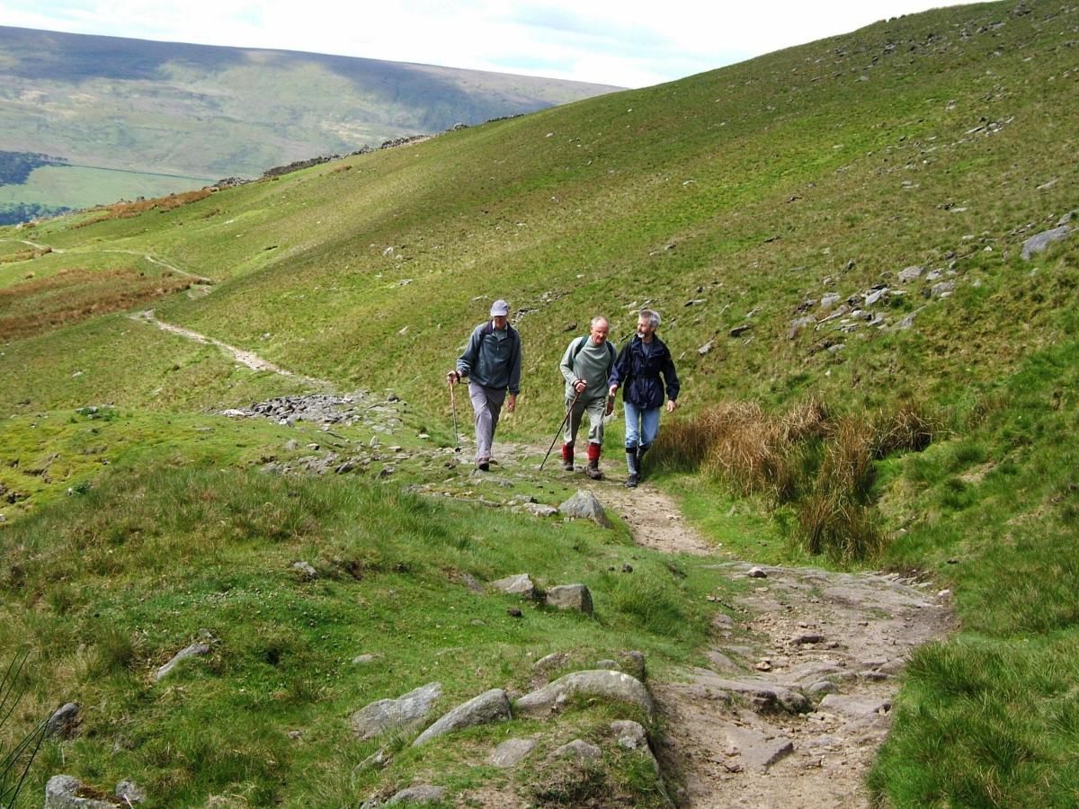
IF SOMEONE asked you to point to the oldest human feature of a typical piece of Yorkshire Dales landscape, it would not be the barns, walls, farmhouses or even ancient earthworks. It would be the humble footpath or green track over the hills.
Since the Dales countryside was settled by farmers in Bronze Age times, human feet have beaten tracks, connecting ancient settlements, or creating trading routes across the fells. Many such ways are still in use, later-built walls having gates and stiles to permit what is an ancient right of passage.
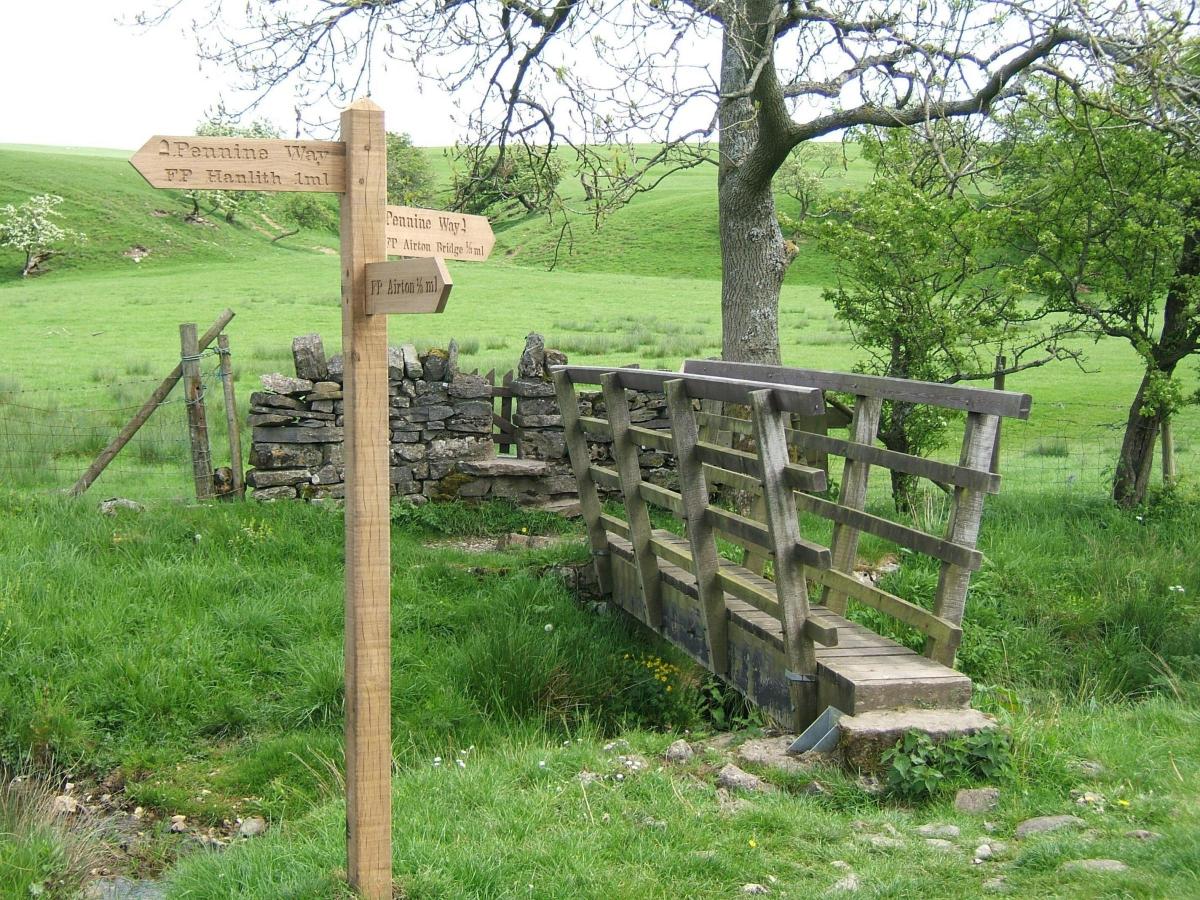
Every footpath has a purpose – to link hamlets and villages with a market town, parishioners’ ways to church, or even – as in the celebrated Corpse Road in Swaledale - permitting the carrying of a corpse in a wicker coffin to consecrated ground.
Every age contributes to the footpath heritage. Monastic tracks and drove roads linked Abbeys to outlying granges, early industrial paths, often flagged, connect mills and cottages. At time of the great Enclosures, paths were retained across fields to viewpoints or features of interest for the healthy exercise of local inhabitants.
With the motoring revolution after World War II many of these paths became little used and even forgotten for decades as Dales communities took to their cars. But thanks to that great piece of legislation, the 1949 National Park and Access to the Countryside Act, all paths that had been in use in living memory had to be recorded on what became known as the Definitive Maps.
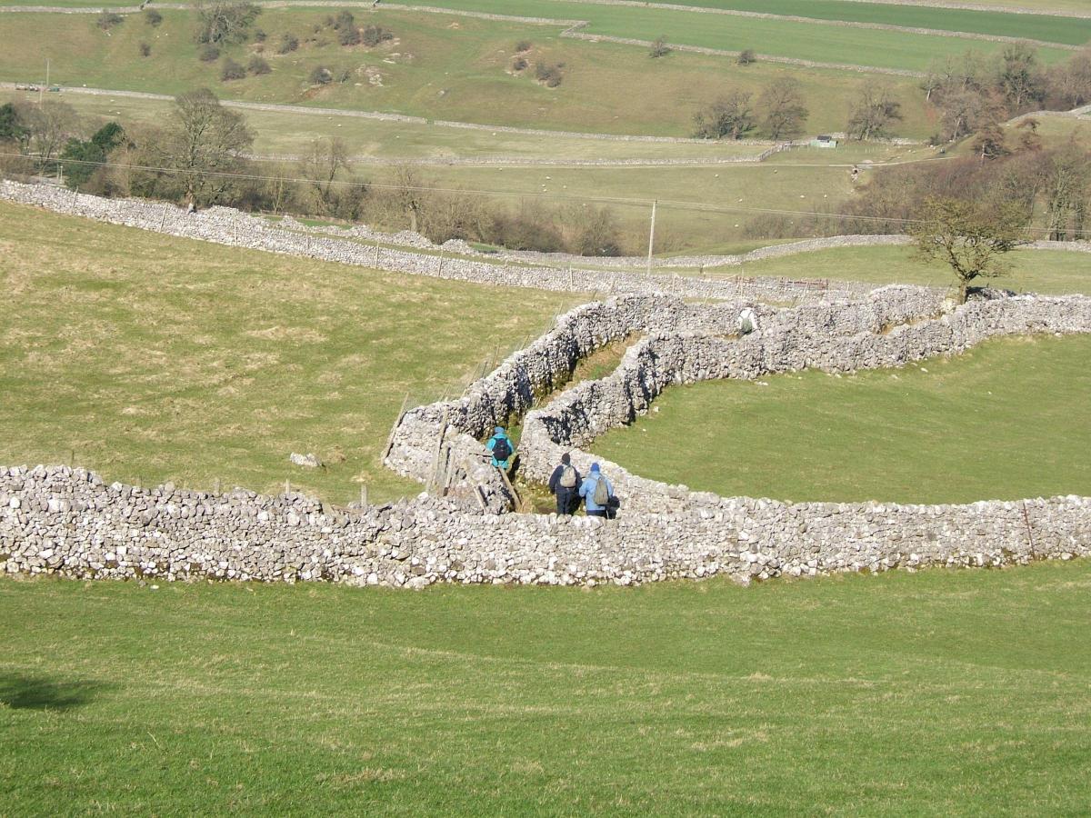
Creating the Definitive Maps in areas like the Yorkshire Dales was a magnificent achievement. It took around 20 years, parish by parish, in various stages, from Draft, Provisional to Definitive. Finally by the 1970s, maps could be printed and published by the Ordnance Survey. For the price of a map this magnificent living heritage is now there for everyone to enjoy.
But it was not created without a great deal of effort, mainly by volunteers, nor without controversy. In most Parishes local people worked with their Parish Council and County Council to painstakingly record from their local knowledge and memories, just where the paths were and where they went. They were supported by members of the Ramblers and other local walking and footpath groups. Sometimes old documents had to be consulted – Enclosure Awards locked in county archives, Tythe maps, property sale records and much besides. An ancient principle of English Common Law going back to Anglo Saxon times is that “once a highway always a highway”. If it can be proved in a court of inquiry that for at least a 20 year period a path had been used without hindrance and that evidence could be given by several people, then that is strong evidence of a public right.
But not everyone was pleased. Many landowners resented the fact that people were claiming the right to walk over their land. In some cases stiles had long been wired up or bricked over. At the public inquiries there were claims and counter claims. Gamekeepers would swear that they had always turned walkers back or that the path in question had never been used. Other landowners and farmers grumbled that people walking over their land would interfere with farming. Why should usage a hundred or more years ago allow such these paths to be claimed, especially by people who lived miles away, as legitimate walking routes, when they were only local village paths?
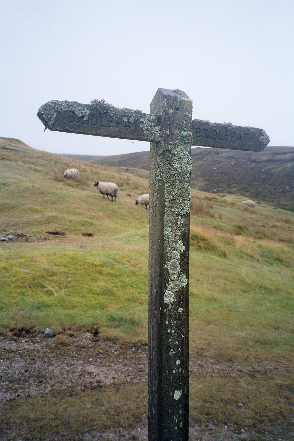
Despite sometimes heated exchanges the Inspectors remained calm and did an excellent job. In large parishes with an active population most paths were recorded and are there today on the Definitive Maps. In smaller and remoter parishes, with only a Parish meeting, many villagers were less prepared to speak out against the local landowner who allowed them to walk across his fields but didn’t want strangers doing so. So even to this day, less paths are recorded in some areas of the Dales. And whilst it is possible to claim lost footpaths and bridleways if evidence can be produced, the Government has decided that after 2026 any such ancient right not recorded on the Definitive Maps will disappear for ever. Little wonder that walkers and riders organisations are concerned to ensure that any missing paths are recorded in good time.
Nowhere else in Europe, and maybe the world, is there such a wonderful footpath and bridleway heritage as England and Wales, and it is a heritage to be proud of. But rights also bring responsibilities. Walkers only have a right of passage along a strip of land, no more than around a metre wide, and not to stroll elsewhere across field or woodland, nor allow dogs to wander at will. Gates have to be closed and litter taken home, and the work of the countryside respected. Footpaths also have to be looked after. Well signed and waymarked paths reduce trespass and nuisance. With over 2,000km of footpaths and bridleways in the National Park alone, maintenance is a major task for the Yorkshire Dales National Park Authority. But equally it is now realised the rights of way network is a major asset for the Dales. Not only is walking of huge benefit to personal physical and mental health, a preventive medicine that saves National Health service millions, but walkers spend significant amounts of money in local shops, cafes, overnight accommodation. Footpaths are now crucial to the Dales economy.


Comments: Our rules
We want our comments to be a lively and valuable part of our community - a place where readers can debate and engage with the most important local issues. The ability to comment on our stories is a privilege, not a right, however, and that privilege may be withdrawn if it is abused or misused.
Please report any comments that break our rules.
Read the rules here