
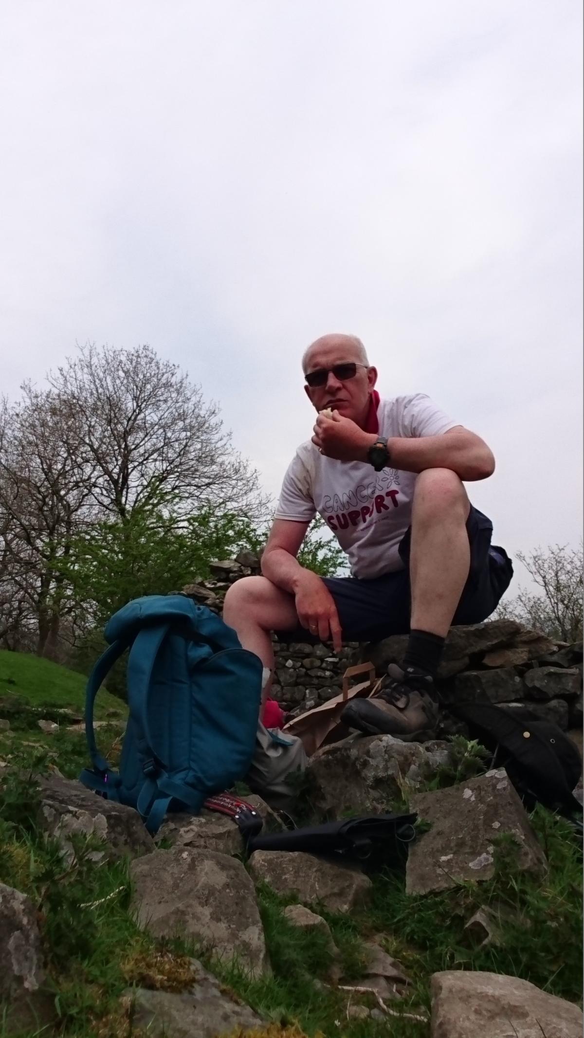
In May, Andrew Lambert set out to follow in the steps of one of his heroes, Alfred Wainwright, by walking more then 200 miles from Settle to Hadrian’s Wall and back – for the second time. Approaching the age of 60, Andrew wanted to see if he could again undertake a trek he first did in 1998, at that time to mark 60 years since Wainwright’s first journey. This is his account, in his own words and pictures:
I SET out to repeat a walk undertaken by Alfred Wainwright in 1938 when he walked from Settle to Hadrian’s Wall and back.
The 11-day trek, more than 200 miles in total, requires some very long days of walking with the longest being around 22 miles, but I was determined to carry out the walk that I had originally walked in 1998.
The chief reason to repeat the trek was so that I could check the route laid out in my historical guide 'In Wainwiright’s Footsteps: The Pennine Journey', currently available as an e-book. I also believed that to retrace the route just before my 60th birthday would be something that would give a lasting memory.
Last, but definitely not least, I wanted to 'do my bit' for Cancer Support Yorkshire, a charity which has been a great help to a friend.
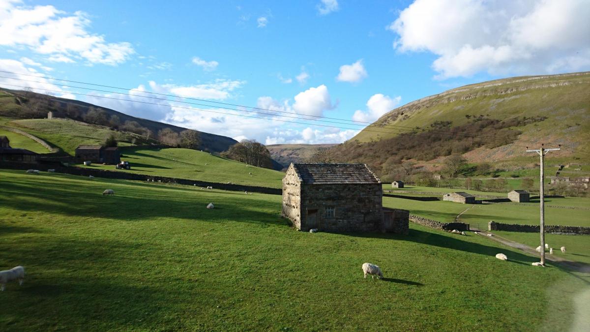
Day 1 of the walk was a hard slog over three dales, starting in Ribblesdale, crossing the bleak Foxup Moor before dropping into Littondale, then a sharp ascent to Horsehead Moor before picking up the Dales Way in Wharfedale, ending in Buckden.
The weather had been less that kind with a thick, clinging mist over both Foxup and Horsehead.
Day 2 started with weather that had worsened overnight, but at least the walking was a straightforward trek over Buckden Rake to the head of Bishopdale and then along Gilbert Lane, to Semer Water and Raydale, before crossing Wensleydale.
The day was made more difficult by the fact that my right shoe was collapsing with the sole hanging off, a temporary repair being made using tape kindly given to me by the landlord at the Rose and Crown in Bainbridge.
Day 3 started well and I am grateful to my hosts who expertly had applied liberal amounts of 'Stix All' to my shoe. This seemed like about the best solution because there would be no outdoor shops until I reached Hexham, still some 60 miles further north.
The walking on the third day followed the Pennine Way, along the way visiting the Tan Hill Inn before crossing the less-than-inspiring Sleightholme Moor to end the day at Cotherstone. The spring in my step had now gone.
Day 4, 22 miles, proved as hard as I had feared with a frustrating end as my chosen route was impassable because of Hurricane Desmond.
I had no option, for the final five miles, other than to follow the Weardale Way, the waymarking of which leaves a lot to be desired.
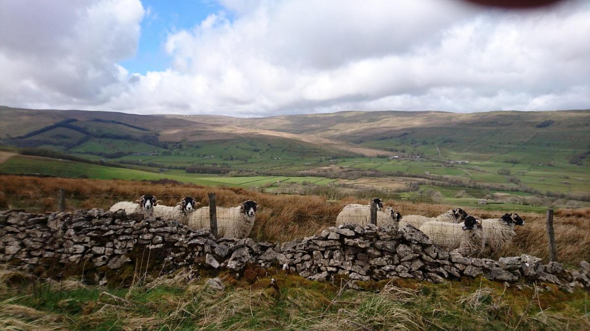
Day 5 started with a long uphill walk up Bolts Law incline, followed by a moorland walk amongst ghostly lead-mining remains.
It was hard to imagine just how populated this area would have been and on a pleasant May day it is really quite picturesque - not so, I’ll wager, in the depths of winter.
The route then descends into the 'hidden village' of Blanchland, and heading away in the distance can be seen Hexham racecourse.
Whilst this was a day of less distance it was a hard slog in the increasing temperature. The shoe had stood up well to the walking so I decided to risk leaving a new purchase and attempt to finish the walk well-armed with tape.
Day 6 gave the chance to follow the Hadrian’s Wall National Trail for about 10 miles before turning south for Haltwhistle.
The Hadrian’s Wall walk is no pushover once beyond Housesteads heading west. The switchback topography results in a frustrating series of steep descents followed by equally stiff ascents. Haltwhistle seemed a long way from Hexham.
Day 7 dawned overcast again and the route involved a northerly walk back to the wall, then following the national trail before picking up the valley of the river South Tyne and its 'Railway Walk' to Alston.
After a tiring day, my planning was found lacking in that the Victoria Inn was sufficiently far up the steep main street to leave me hobbling.
Day 8 was 21 miles and would involve reaching the summit of Cross Fell, the highest of all Pennine peaks, and an uphill eight-mile walk from Garrigill, again mostly on the Pennine Way. Beyond Garrigill I was forced to question my decision not to buy new shoes when the glued shoe came adrift and emergency taping was needed.
Day 9 was the shortest of all but still had its frustrations, a consequence of Hurricane Desmond – another path was closed and I was forced to walk the final four miles to Soulby along the edge of a busy road.
Day 10 would see the walk leave the Eden valley and following the valley of the River Rawthey toward Sedbergh to Dent. The Sun Inn won my award for best beer and mattress!
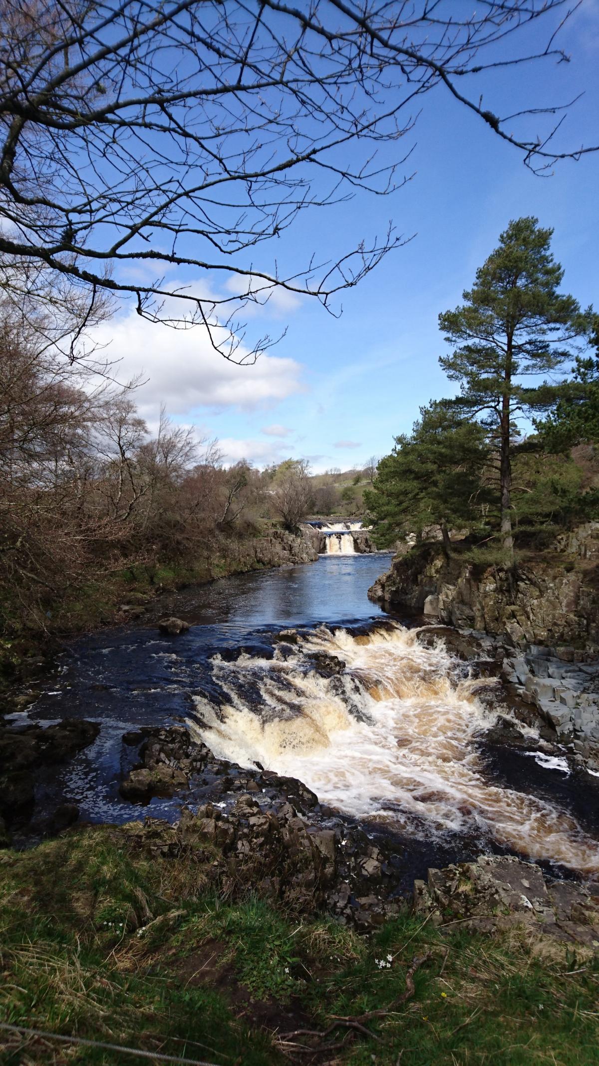
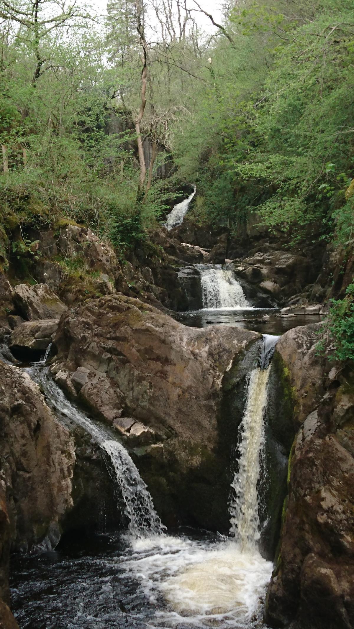
Day 11, following the edge of a metalled road up Deepdale and then hard work following Kingsdale. The spirits were refreshed on the descent down the delightful Ingleton Waterfalls Walk and beyond the final miles are peaceful selection of green roads leading to Clapham, Austwick and Feizor before a final ascent of the hills to the west of Settle.
Finally, after 217 miles (not the 200 I had estimated), I had achieved what I had set out to do.


Comments: Our rules
We want our comments to be a lively and valuable part of our community - a place where readers can debate and engage with the most important local issues. The ability to comment on our stories is a privilege, not a right, however, and that privilege may be withdrawn if it is abused or misused.
Please report any comments that break our rules.
Read the rules here