

THIS is good, challenging horse riding route which can also be tackled by walkers, but it is 13 miles, so those on foot should be prepared for a hard slog. It's mainly in Malhamdale, in the Yorkshire Dales National Park, and includes high moorland, lanes and old drovers' roads,with wonderful views in fine weather.
The going is not fast, because the terrain is stony in places, and there are many gates, so be prepared to dismount regularly - unless you have a well schooled horse.
Tackling the route in poor weather is not advisable as it would be easy to get lost.
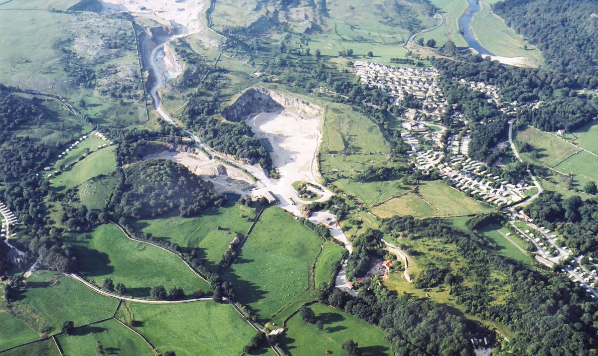
The ride starts in Skirethorns Lane, Threshfield - near to the quarry.
This route, Moors of the Southern Dales, has been put together by Ride Yorkshire, which has several detailed and easy to understand similar rides on its website all across the county. To find out more, visit rideyorkshire.org.
Step by step
1. Ride along Skirethorns Lane in the opposite direction from where you came in. After 200 metres turn right at the crossroads. Ride up the lane for 1.6 miles, passing Wood Nook Caravan site.
2. Where a bridlepath crosses the lane, turn right and ride over grassy pasture to the brow of the hill and then down, following the blue pole waymarkers. Kilnsey Crag is ahead in the distance. The track is grassy but clear, it is gradually channelled between stone walls which towards the end are used for cattle pens - several gates here.
3. As the stone walls open out again, turn sharp left (passing an interpretation sign) to ride almost back in the direction you have come, this time, along the other obvious track. This is Mastiles Lane, used for 2,000 years by Romans, monks and drovers. Continue for 2.5 miles, ignoring bridleways to the left, to a fingerpost pointing towards Lee Gate, three-quarters of a mile (Mastiles Lane continues straight ahead). Turn left through the gate.
4. Ride along a field edge, ride sensitively if there are sheep. You will join a track, and the large sheds of Lee Gate Farm appear. As you approach the farm, bear right through a gate onto a stony track which becomes a Tarmac lane, keeping the farm on your left. Continue down the lane for half a mile, passing the entrance to Park House on the left, to a a clear bridleway turning to the left. Take this track. At the top is s tall thin stone monument. You are now at Weets Top. Go through the gate to see two tracks leading across the moor, signed BW Hetton and BW Calton. Take the left track.
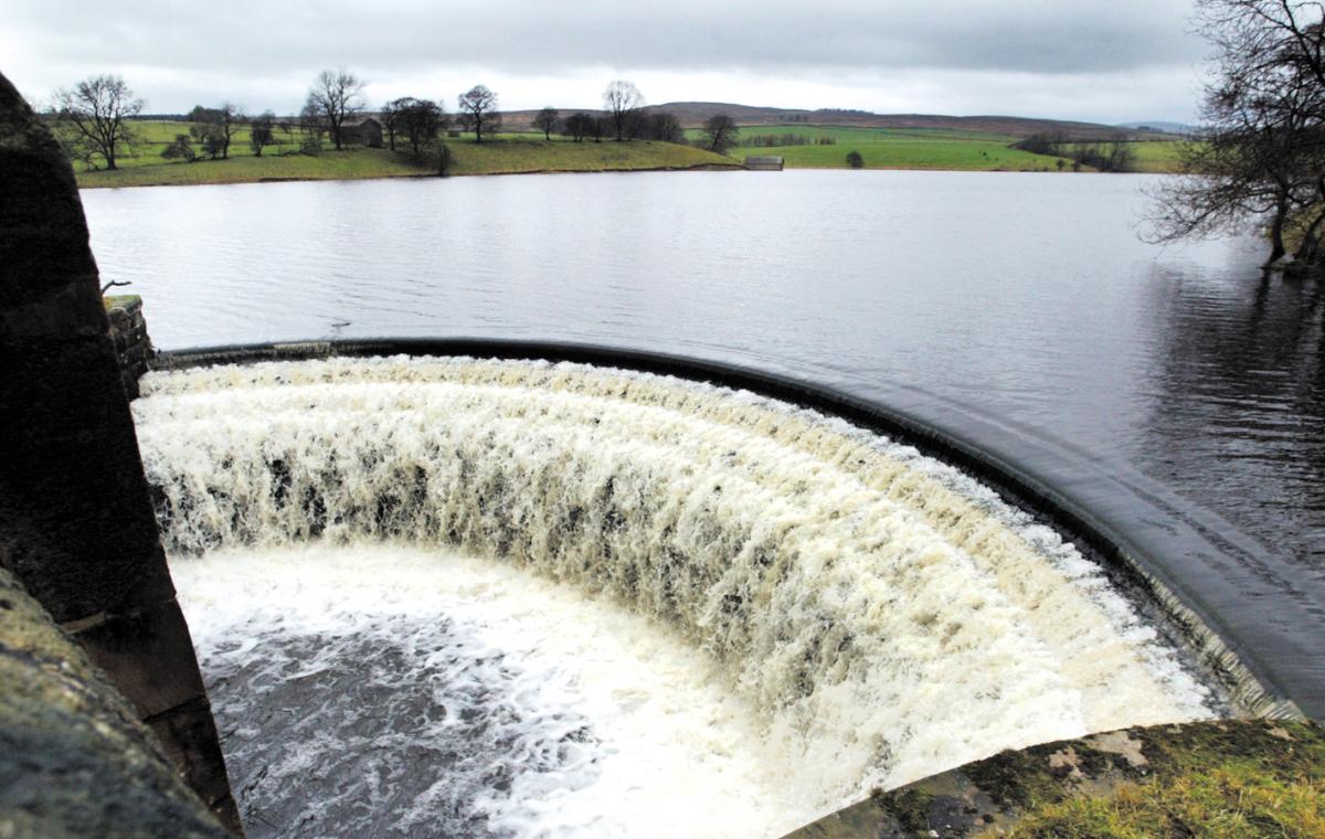
5 Ride across Hetton Common and down the hill (watching out for mountain bikes). To your left is the deep gully called Whetstone Gill with Winterburn Reservoir ahead of you. At the bottom of the track, cross Hetton Common Beck at the head of the reservoir, then bear right and continue up the other side on a sandy track. At a gate with a five way fingerpost sign, turn sharp left to follow the obvious track signed BW Threshfield. This is a mostly grassy, with some boggy patches - watch out for rabbit holes at the top of the hill. The track becomes stony, narrower and rutted and leads to a gate. Ride onto the road, and turn left.
6. After just 100 metres, turn right along a clear track (finger post - Public bridleway Moor Lane Threshfield) after about 50m, the track forks. Take the fainter track to the left and ride across the moor - the track is faint at times but always obvious. You reach a gate with a fingerpost. Follow the sign towards Threshfield. After about a mile the grassy track bears left to a gate, after which you are on a section of stony track for just 400m before joining a Tarmac lane. Turn left here and ride along to the crossroads at the end of Skirethorns Lane. Turn right and return to the quarry.


Comments: Our rules
We want our comments to be a lively and valuable part of our community - a place where readers can debate and engage with the most important local issues. The ability to comment on our stories is a privilege, not a right, however, and that privilege may be withdrawn if it is abused or misused.
Please report any comments that break our rules.
Read the rules here