
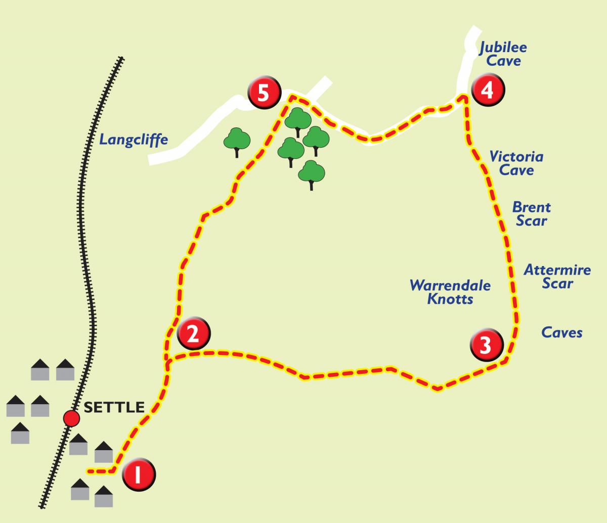
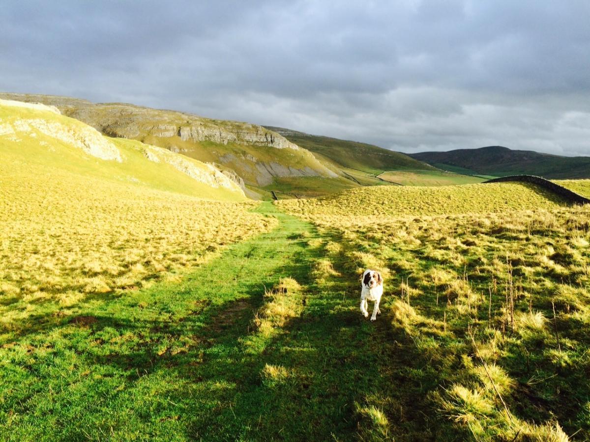
THIS is fairly strenuous walk that sets off from bustling Settle, but within a very short time indeed, you're in stunning countryside.
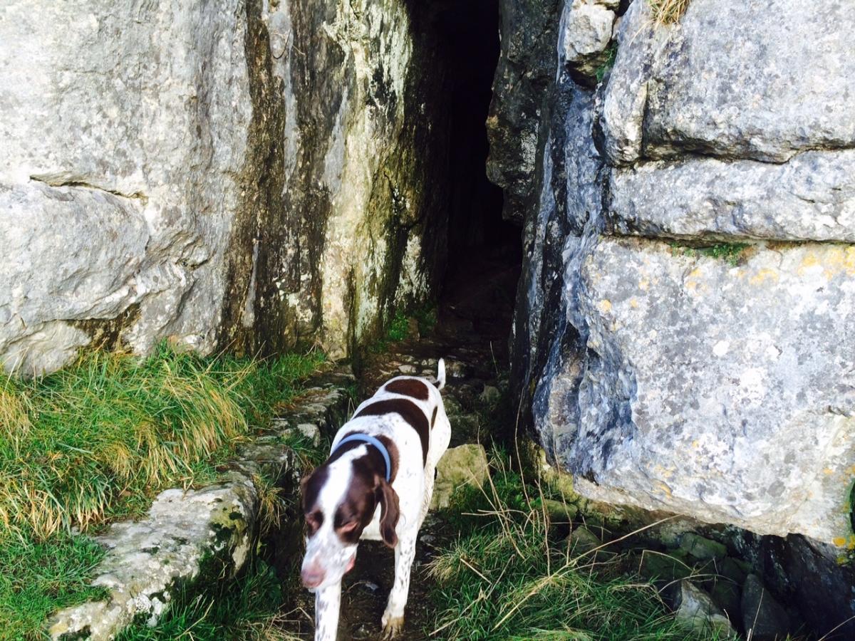
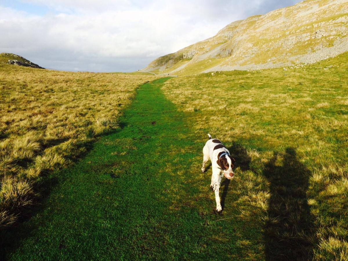
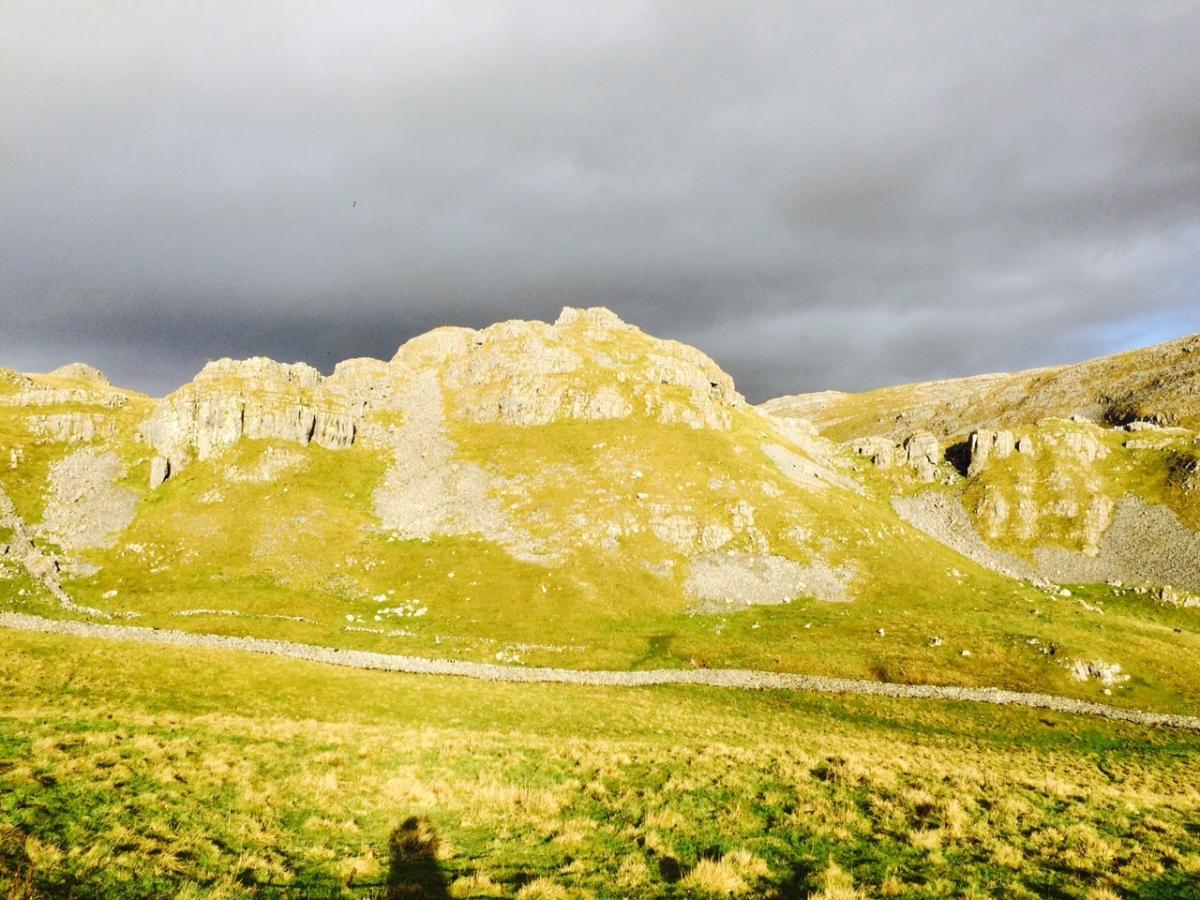
For the first couple of miles, you are climbing uphill, but the rest of the walk is along gentle grassy paths and lanes. It passes the limestone crags of Attermire Scar and also passes, or goes very close to, Attermire, Jubilee and Victoria caves.
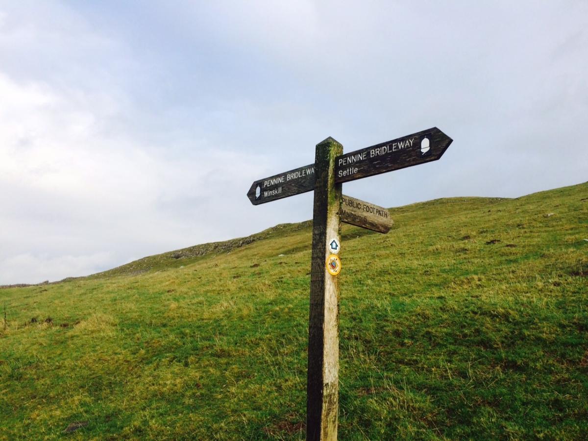
Much of it is on the Pennine Bridleway, which appears to be used more by cyclists than horses, but for any horse rider, it is indeed wonderful riding.
Step by step
1. From the left off the Market Place, go up Constitution Hill. After a short distance, take the Pennine Bridleway off to the right. Follow the narrow, wall lined track. As it opens out into grassland, turn off the bridlepath and take footpath (signed) to Malham.
2. Continue steadily up the hill following path, there are a couple of paths here, but they both end up in same place. You reach the top of hill and then start going downhill again. At a wooden finger post, go left up a rocky path and then go through the new gate to join a path. Follow the path as it passes Attermire Scar on your right, Brent Scar and Victoria Cave.
3. At the end of the path, go through the gate and then turn sharp left, through a metal gate and back onto the Pennine Bridleway. Follow the lane as it drops steadily down hill to a cattle grid and out onto a road.
4. Follow the Pennine Bridleway, signposted, Settle two miles. It is now a well marked and clearly defined path gently downhill back to (2) where you left the bridlepath to join the footpath to Malham.
Fact file
Area: Upper Ribblesdale.
Distance: 5 miles (8km).
Time taken: Two and a half to three hours.
Total climb: 700 feet (213m)
Level of difficulty: Moderate
Terrain: town centre, roads, lanes, bridle paths and moorland
Parking: In Settle, public car parks (£2.50 up to three hours, £3.10 for four hours).
Refreshments: Settle, pubs and cafes.
Gates: Easy access.
OS Map: Explorer OL2


Comments: Our rules
We want our comments to be a lively and valuable part of our community - a place where readers can debate and engage with the most important local issues. The ability to comment on our stories is a privilege, not a right, however, and that privilege may be withdrawn if it is abused or misused.
Please report any comments that break our rules.
Read the rules here