
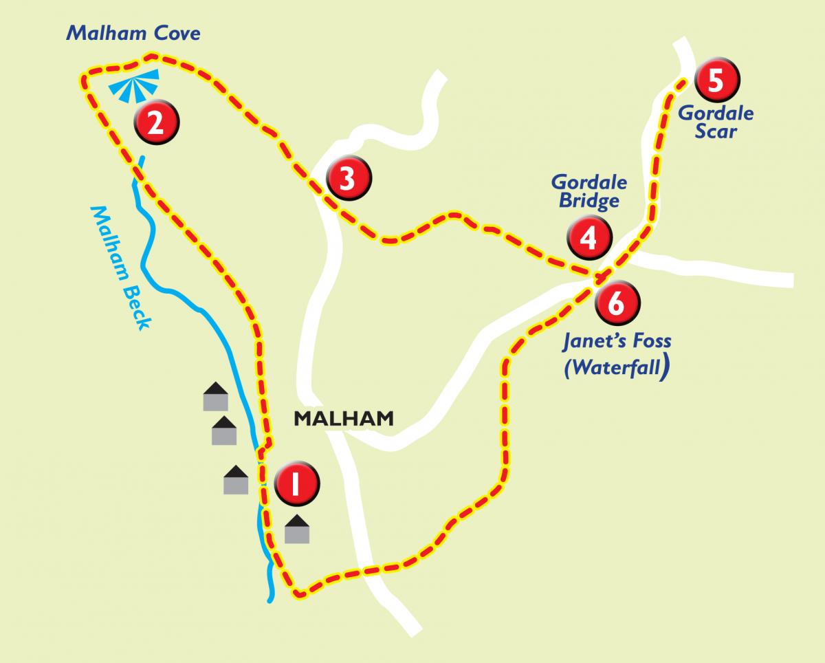
THIS is a very lovely walk in the Yorkshire Dales National Park.
It has just one strenuous bit, a stepped climb to the top of Malham Cove and the limestone pavement, but the rest is pretty gentle.
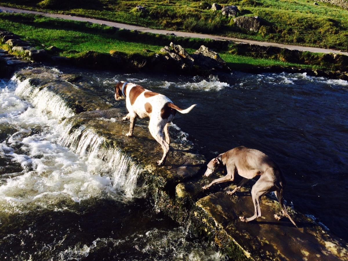
I went along the day after a waterfall sprouted from the top of the cove for the first time in many a year - the result of heavy rain in Cumbria. The water had stopped by then, but Malham was full to the gills with sight-seers and a few photographers.
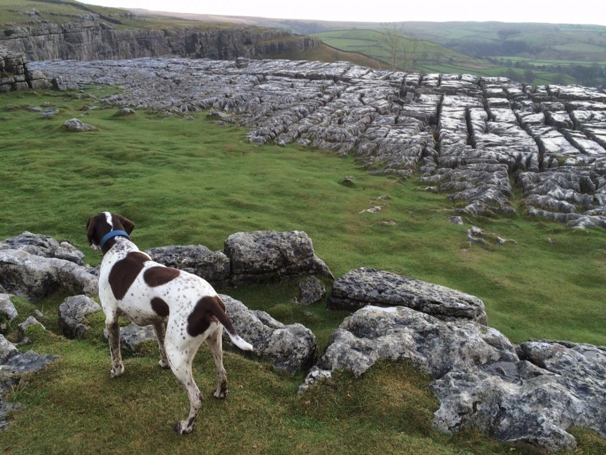
But, even without the waterfall, the cove is a rare sight, and the limestone pavement running along the top has featured in many television and film productions over the years, the latest being BBC television's Jonathan Strange and Mr Norrell.
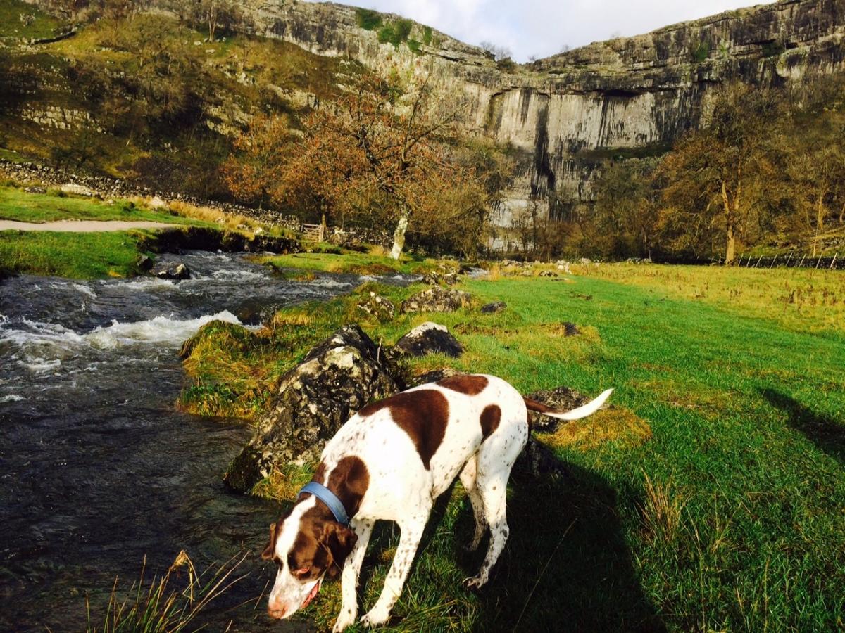
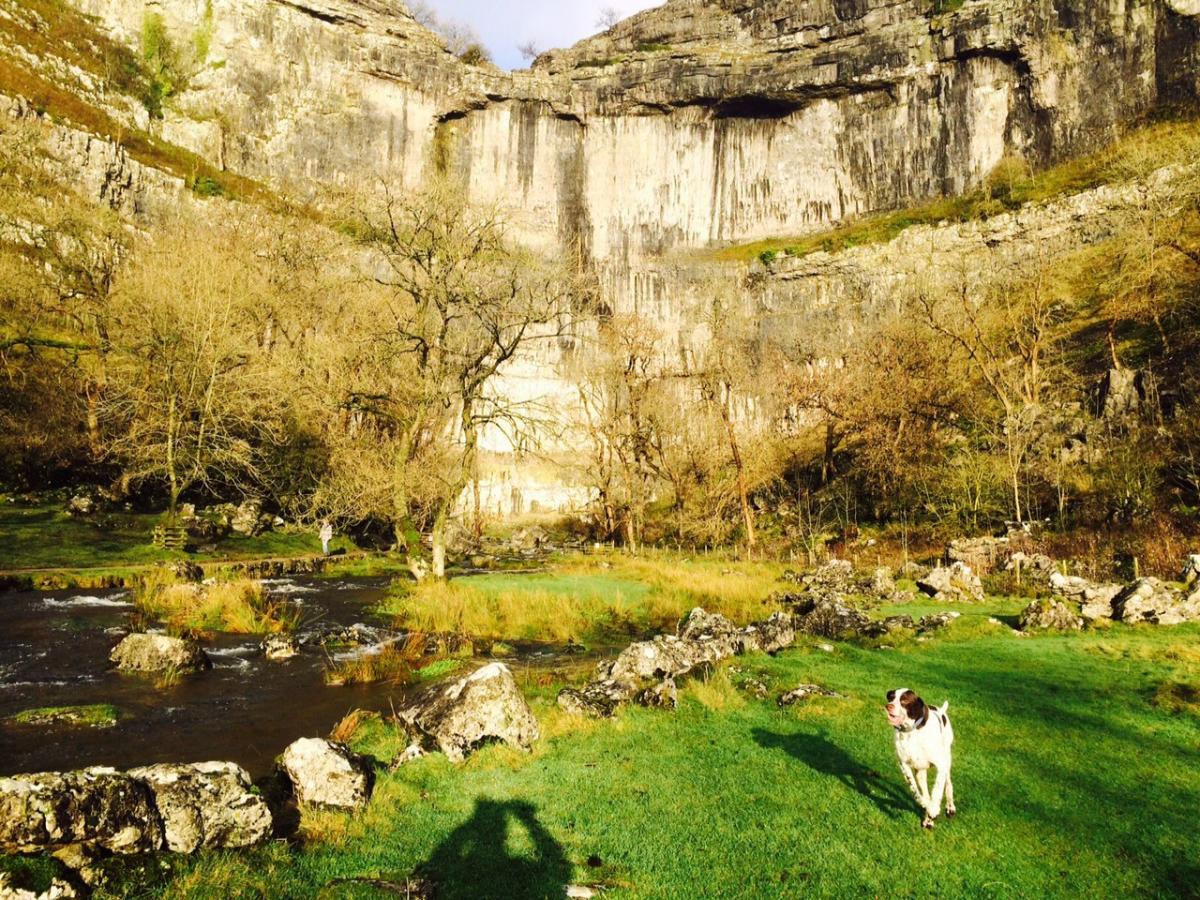
The walk also takes in the dramatic Gordale Scar and meanders back gently to Malham via Janet's Foss.
Step by step
1. From the centre of Malham, go over the bridge , passing The Lister Arms on your left. Take the footpath next to the youth hostel and keep to path as it crosses fields. It eventually drops downhill to Malham Cove on your right.
2. Follow the stepped footpath as it climbs steeply uphill and continue along the path as it bends round to the right, passing close to the Limestone Pavement and the top of the Cove. Continue along path as it passes through a gate, follow signs as path goes uphill and then bears off to the right. There are a few paths across the moorland here, but head generally straight over and towards a ladder stile over the road.
3. Cross over road and through opposite gate. Follow path as it meanders down hill, with limestone wall on one side. You will eventually come out on road next to Gordale Bridge.
4. Turn left here and follow road a short way before taking path signed Gordale Scar, walk along to scar and right to the end to see the waterfall (5) before retracing steps back to Gordale Bridge. Walk along the road for a short way before taking footpath signed to Janet's Foss.
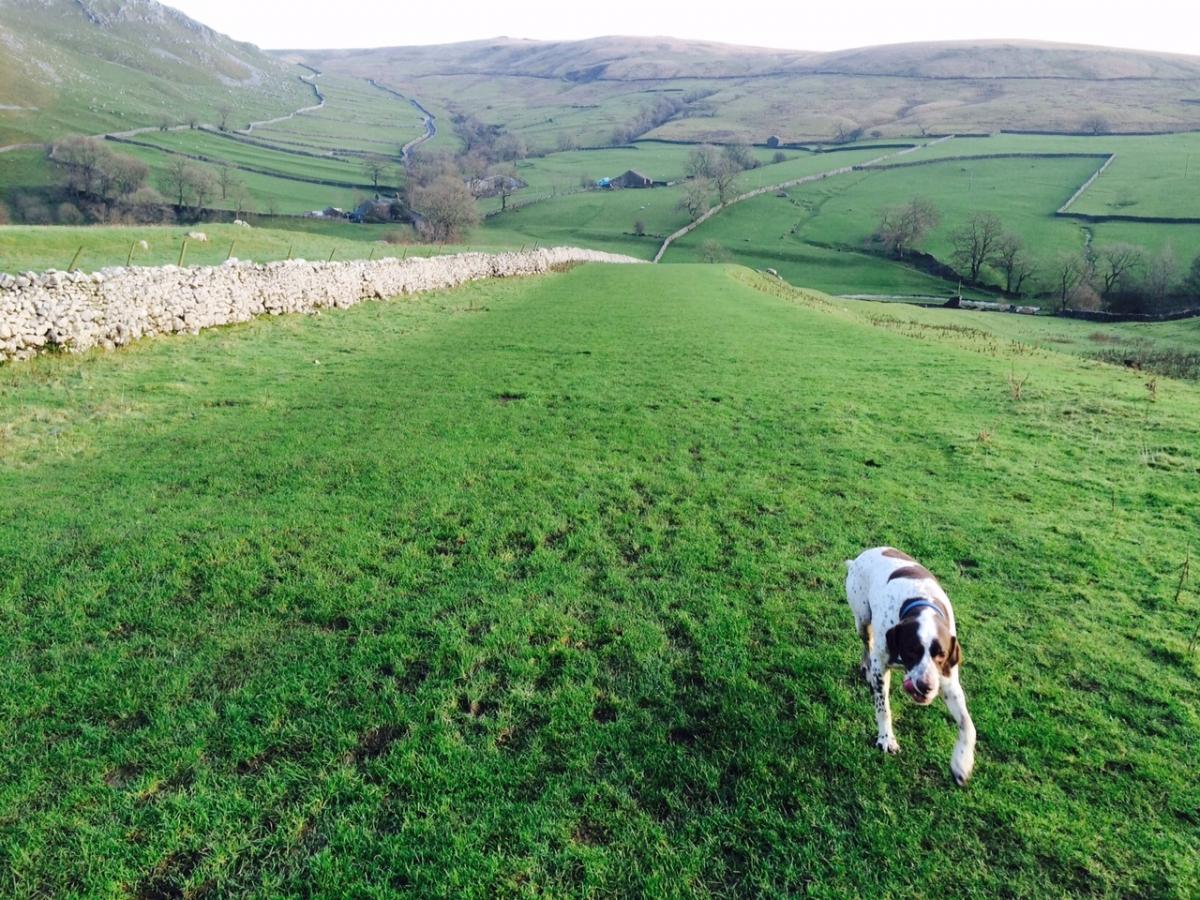
6. Follow riverside path through woodland and then all the way back to Malham.
Fact file
Area: Malham Cove and Gordale Scar
Distance: Five miles (7.6km), three hours
Highest point: One climb of 377 feet (115m)
Level of difficulty: Moderate - strenuous
Terrain: Good quality paths, fields and moorland
Parking: At national park car park, £4.50 for over two hours; or in Malham, voluntary £1 donation to village fund
Refreshments: In Malham
OS Map: Explorer OL2


Comments: Our rules
We want our comments to be a lively and valuable part of our community - a place where readers can debate and engage with the most important local issues. The ability to comment on our stories is a privilege, not a right, however, and that privilege may be withdrawn if it is abused or misused.
Please report any comments that break our rules.
Read the rules here