

I'VE stepped over the border into Lancashire again for this walk suggested by a work colleague.
It starts off in delightful Barley, where I'm told the pubs are very good, and takes in moorland, a wood and two reservoirs. There are a few steep climbs, and the ground can be boggy, so waterproof shoes are probably a good idea.
There are some lovely views of Pendle Hill to be had, and for any Pendle Hill virgins, a good taster for future walks up the hill.
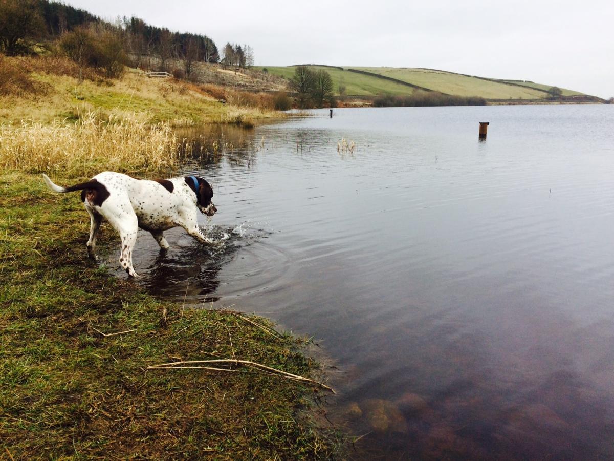
It finishes off at Lower Ogden Reservoir, which together with Upper Ogden Reservoir, supplies water to the Nelson area. Upper Ogden Reservoir was finished in 1906 and can hold up to 54.5 million gallons of water, while Lower Ogden was completed in 1914 and is much larger, holding up to 157.5 million gallons of water.
Step by step
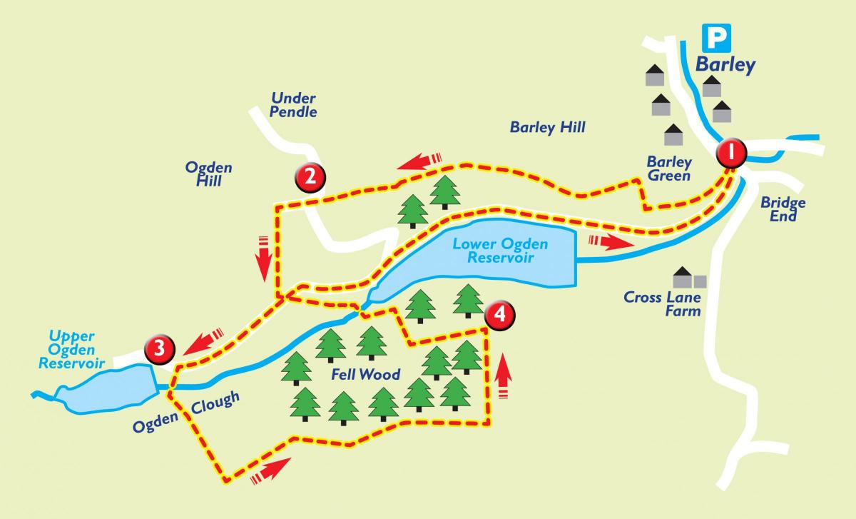
1. From the car park in Barley, go out the main entrance, turn right and then at the T-junction go over the main road to minor road opposite with village hall on left. Just past Barley Green Farmhouse on your right, the road divides into two - take the right path, through a gate and gently uphill into farmland. The track rises slowly and is marked with waymarkers and passes through kissing gates. Head towards the distant plantation.
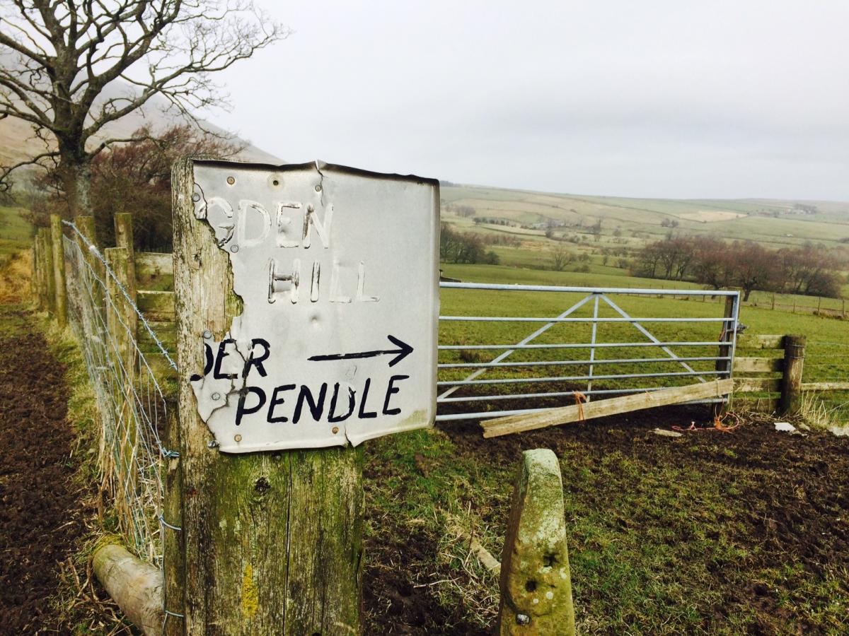
2. Pass the corner of the plantation and cross over another stile to join a surfaced track. Over to your right are views of Pendle Hill. Keep following the way markers and go along a track marked Ogden Hill. As the track meets a wall, it swings around to the right. At this point, go left, in front of a gate, and follow the footpath downhill, with wall on right, down towards Ogden Reservoir. On reaching the reservoir road, turn right and continue towards Upper Ogden Reservoir.
3. Pass through a gate and then over a stone stile in wall and follow track to top of dam wall. Turn left and cross to the stile at the far side of the dam. Follow the well used path straight uphill. As you reach the top of the hill, take the stile on your left and follow path over wall stile to top of Fell Wood.
4. Continue along path, crossing over two more wall stiles and at end of wood, turn sharp left over another stile, dropping down the side of the wood. Towards the corner of the wood, the path goes left over another stile and down again towards Lower Ogden Reservoir. Follow the path along the side of the reservoir and then through a gate back onto the reservoir road, back into Barley - you will come out on the left hand path at the start of the walk.
Fact file
Location: Forest of Bowland Area of Outstanding Natural Beauty
Start and finish: Barley, near Clitheroe
Parking: Barley Green Car Park, honesty box for payment
Distance: 3.5 miles, around two hours
Terrain: Can be boggy, moorland, fields, tracks and surfaced reservoir road
Gates: Plenty of stiles
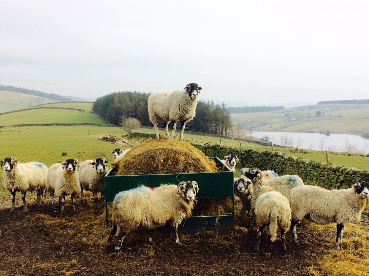
Livestock: Sheep in fields, follow Country Code and keep dogs under control and on leads
Refreshments: Plenty in Barley
OS Map: OS Explorer OL41


Comments: Our rules
We want our comments to be a lively and valuable part of our community - a place where readers can debate and engage with the most important local issues. The ability to comment on our stories is a privilege, not a right, however, and that privilege may be withdrawn if it is abused or misused.
Please report any comments that break our rules.
Read the rules here