
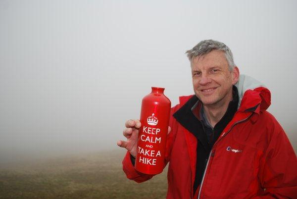
KEEN walker Jonathan Smith, from Long Preston, has lived and walked in the Dales for more than 20 years. In 2010, he turned his passion into a career and set up the Where2walk website. Now, he has published The Dales 30. Lesley Tate reviews the book, and looks forward to trying out some of its walks.
Jonathan Smith has lived and walked in the Dales for more than 20 years. A qualified mountain leader with many years experience, he has made repeated circuits of the Yorkshire Three Peaks - Penyghent, Whernside and Ingleborough. In 2010, he turned his passion into a career and set up Where2walk with the aim of making it the first port of call for anyone looking for a walk anywhere in the north of the country. And, its fair to say, the website has achieved just that - it features more than 500 walks, several long distance trails and also a number of walking challenges - including the Dales 30.
The Dales 30 are mountains of more than 2,000ft and all within the Yorkshire Dales National Park - and as an alternative to the Yorkshire Three Peaks - of which everyone knows - Jonathan is challenging people to take them on, and hopes they will eventually become as well known as the Munros in Scotland, and the Wainwrights in the Lake District.
'Many do know and talk about the Three Peaks of Yorkshire challenge," he says in his book. "On any given Saturday from April to September, the slopes of Penyghent, Ingleborough and Whernside are crowded places." But, he points out, as anyone who has witnessed such a group, they can be more focussed on the challenge itself, of getting up and down all three within 12 hours.
"As a guide, I have on occasions come across people who have no idea where they are, not even aware they are in Yorkshire," he says.
The Dales 30 is an completely different type of challenge, says Jonathan. For a start it is more leisurely, you don't have to complete it in under 12 hours, walkers just do it at their own pace.
You can come and go whenever you like, completing different parts at different times of the year, and most importantly, you can take your time to enjoy the area and find out something of its geology and history.
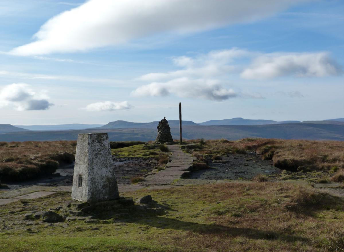
The Dales 30 takes in the furthest corners of the Dales and to the quieter and less visited parts of the national park, bringing with it a 'full appreciation' of the area.
"The 30 mountains all display different characteristics, have different approaches, and involve different challenges, " says Jonathan.
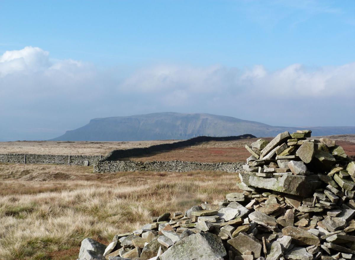
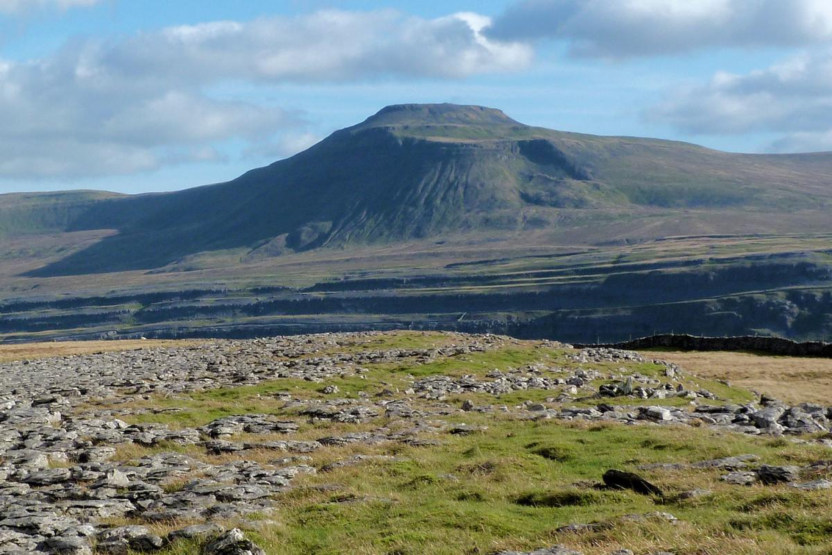
And, that is down to geology and the underlying bedrock. So, "the carboniferous limestone to the south and west, coupled with thin soils bring a rockier landscape", while further north, shale and sandstone offer a 'smoother profile, deeper soils and a peat and heather clad moorland,
"Just contrast Penyghent with Yockenthwaite Moor which lie only a few miles apart," he says.
And he points out how different a well known peak can be at different times of the year.
"Buckden Pike in the snow is a very different proposition to a leisurely amble on a long, summer's day. It brings a sense of adventure and excitement that, after many ascents, still gives me a real burst of adrenalin."
In Upper Whafedale, there is Great Whernside, Buckden Pike, Yockenthwaite Moor, and Birks Fells: while in the Western Dales, included are Fountains Fell, Darnbrook Fell, Penyghent, Plover Hill and Ingleborough.
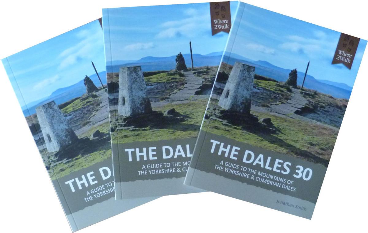
The handy sized book - it will neatly fit into a pocket - is extremely user friendly. Each of the Dales 30 is accompanied with 'key details', including distance, height to climb, where to park, and Jonathan's 'best route'. Instructions are not over fussy, but just right - so you don't have to spend your time constantly getting sheets of paper out to check the details.
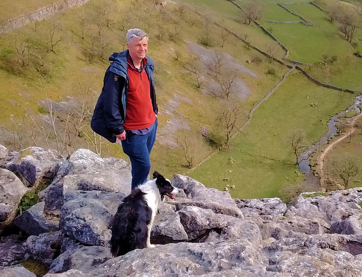
Jonathan has taken most of the photographs himself, pointing out in the digital age it is much easier for amateurs to take much better pictures - and without having to lug around expensive and heavy kit. His own 'best routes' are accompanied by 'alternative routes' to try out, and the walks are accompanied by his own, sketched maps, which are intended as a guide - it is always worth while taking along he suggests, an Ordnance Survey map, or a 'designed for walkers' Harvey map.
There are also some very interesting additions from contributors, a Three Peaks Challenge guide, and a national park ranger.
A proportion of the proceeds form the sale of each copy of the book will go towards the YDNPA Three Peaks Project, which helps maintain paths and signs.
The Dales 30 is published by Where2walk and is priced £12.50. For more information, visit the website: Where2walk.co.uk


Comments: Our rules
We want our comments to be a lively and valuable part of our community - a place where readers can debate and engage with the most important local issues. The ability to comment on our stories is a privilege, not a right, however, and that privilege may be withdrawn if it is abused or misused.
Please report any comments that break our rules.
Read the rules here