
Raistricks And Other Hills Over 1,000 feet in the Yorkshire Dales by hill walker and keen amateur geologist Bernard Peel of Cross Hills is clearly a culmination of a lifetime’s love of the high fell country of the Yorkshire Dales says countryside campaigner and writer Colin Speakman. Bernard, he says, has done us a favour by identifying all those 242 hills in or close to the Yorkshire Dales National Park of more than 1,000 feet. So, go bag yourself a 'raistrick'
IN simpler times, if you were a keen fell walker and wanted to feel you had literally climbed a mountain you looked at your ‘one inch’ Ordnance map and it would tell you which of those you had climbed were over that magic internationally accepted definition of a mountain of 2,000 feet above sea level.
This happily included quite a few summits on the Yorkshire Dales, such as all ‘three peaks’, Buckden Pike, Great Whernside, and Fountains Fell.
When OS maps went metric and became 1:25,000 or 1:50,000 everything changed. Even the mighty Ingleborough at a mere 724 metres didn’t have quite the same cachet as when it was 2,373 feet.
But pride was restored when following the success of Scottish mountaineer Sir Hugh Munro whose categorisation of any hill in Scotland above a mighty 3,000 feet was widely accepted as a Munro.
This set a trend and once all the Munros had been bagged, lesser hills were soon to get their own designation - Corbetts (between 2,500-3,000), Grahams (between 2,000-2,500) Donalds (over 2,000 Lowland Scotland) and eventually Hewitts and Nuttalls (England and Wales over 2,000 feet) depending on achieving the minimum hight re-ascent levels from the nearest adjacent peak.
But there are also Marilyns which can be any height above sea level but must offer a minimum rise from surrounding land surfaces of 492 feet (150 metres) on all sides.
Confused? Perhaps so. But maybe a new book which also lists the summits of the more modest – if still challenging - 1,000-2,000 feet peaks of the Yorkshire Dales, might help clarify the situation.
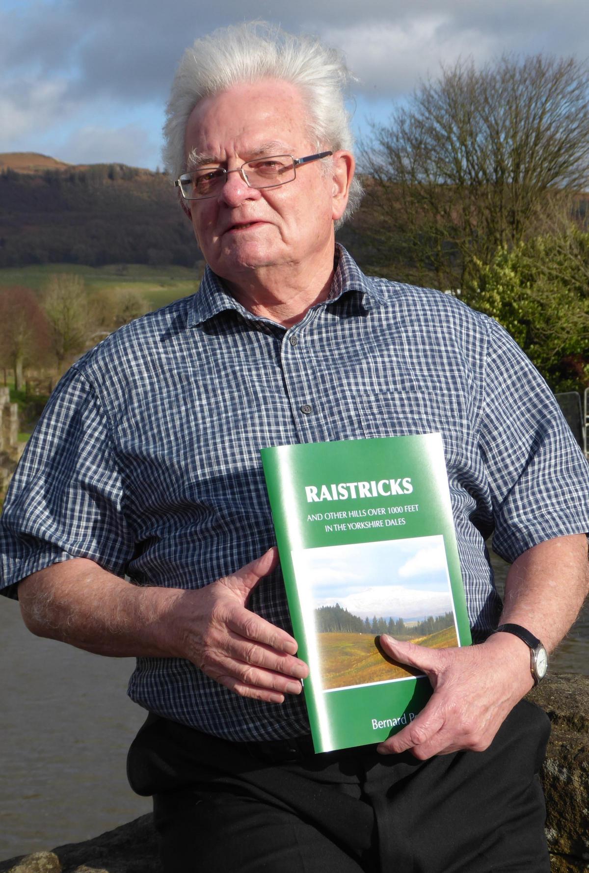
Its author Bernard Peel, who lives in Cross Hills, has at various times in his career been a farmer, civil servant, lifelong hill walker and keen amateur geologist. But Bernard is also a long serving volunteer with the Yorkshire Dales Society – now Friends of the Dales.
Bernard’s fascinating new study of all the hill summits of the Yorkshire Dales (defined by the area of National Park, Nidderdale AONB and fringe areas) the criteria being the old 1,000 feet “mountain” definition, with a minimum re-ascent of 100 feet, so the hill summit is a distinct feature not just part of a longer ridge, but significantly lower than the 2,000 feet of a Hewitt or Nuttall.
After detailed research with maps and no doubt many years on the fells with boots and rucksack in wind, sunshine, sleet and rain, Bernard has recorded no less than 242 hill summits over 1,000 feet in the Yorkshire Dales, of which 23 are Marilyn, 13 Hewitts, and 8 Nuttalls, but perhaps the most characteristic of the Dales fells are 72 peaks over 1,000 feet, with a minimum rise of 100 feet or more to their summits to make them a proper peak, compared with the as 126 “unclassified” 1000 feet ridge ends that offer less than 100 feet ascent or re-ascent to the final summit.
Bernard has named these typical Dales peaks “Raistricks” – a tribute to the great geologist, historian, industrial archaeologist and author Dr Arthur Raistrick (1896-1991) former President of the West Riding Ramblers and a founder member of the Yorkshire Dales Society.
In 2000 he was designated the YDS Dalesman of the Millennium. Arthur Raistrick was a great hillwalker and would have walked, if not all, most of the fell summits now named after him.
To make sense of this mass of detailed information, all the peaks are listed in clear groups under their nearby high point or ”parent summit” with grid references and distances in good old-fashioned imperial measure (miles and fractions of a mile - for those with long childhood memories, an eighth of a mile equals one furlong) from parent summit.
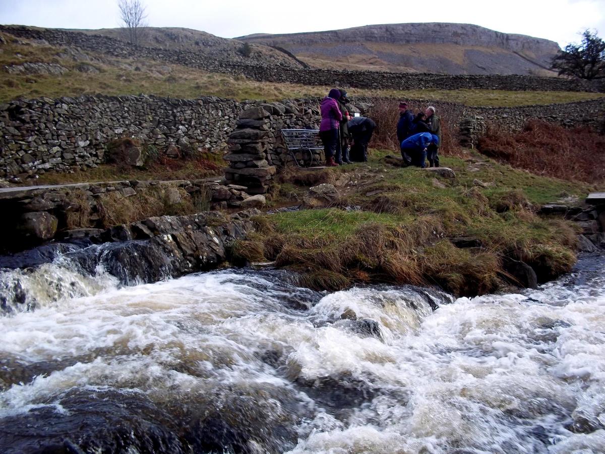
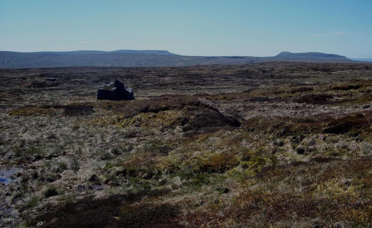
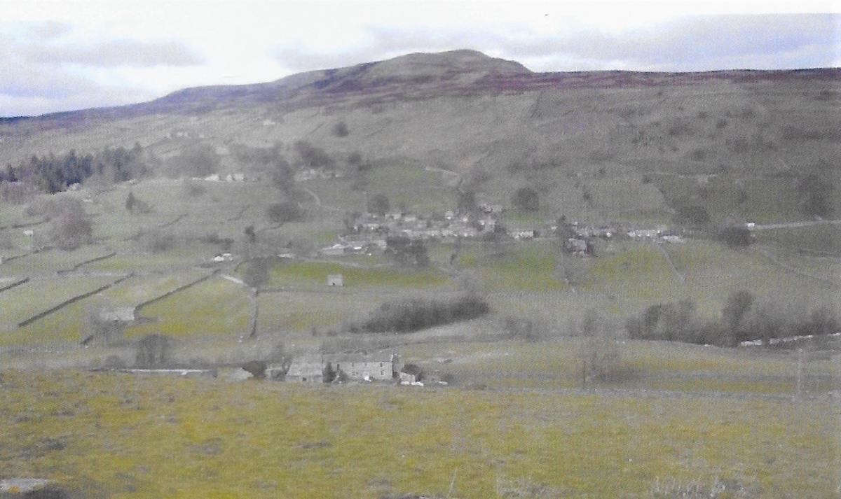
There are useful maps and notes to advise walkers on the best or easiest ascent of individual peaks by public paths or over access land.
Thanks to the 2000 CROW Act there is now public access to almost all open land in the Yorkshire Dales so now no need to trespass.
But there is also descriptive text which might help his less energetic readers get to the right viewpoint for “peak spotting” which, even if you can no longer bash across the heather or sphagnum peat or climb up a near vertical slope, means you can enjoy a view of the peak from a car window on minor roads.
An amazing collection of photographs helps you identify that peak or group of peaks from the roadside.
As most summits are well away from bus routes, the bus user just has to walk a few miles more, but keen fell walkers might also know there is no finer way of enjoying the Wild Boar or High Seat Group than using the Settle-Carlisle line and walking between Garsdale and Kirkby Stephen stations in the process.
This book is clearly the culmination of a lifetime’s love of the high fell country of the Yorkshire Dales.
Its detailed classification and categorisation makes this less of an armchair read and more of a valued work of reference, worth a place on fellwalker’s bookshelf, so that when you need to work out exactly what that summit is and how to get there you can reach for your Raistricks.
Bernard Peel has done us a service.
Raistricks is published by the author with help of a grant from Skipton Mechanics Institute and is priced at £10. It is available in some Dales bookshops or from the author by email: rosabernard.peel@btopenworld.com or from: office@yds.org.uk
It is also available from Friends of the Dales, Canal Wharf, Eshton Road, Gargrave BD23 3PN price £11.50 to include postage,cheque to be made to Friends of the Dales. The Friends of the Dales willreceive £2 from every sale.


Comments: Our rules
We want our comments to be a lively and valuable part of our community - a place where readers can debate and engage with the most important local issues. The ability to comment on our stories is a privilege, not a right, however, and that privilege may be withdrawn if it is abused or misused.
Please report any comments that break our rules.
Read the rules hereLast Updated:
Report this comment Cancel