

MARK Reid, author of The Inn Way guidebooks and mountain leader, is a keen walker with many years experience. For him, there is no better place to walk than the Dales - and always with a map and compass. To this end, he teaches others the skills they need and the confidence to walk in the countryside, to enjoy its natural beauty, without resorting to satellite navigation.
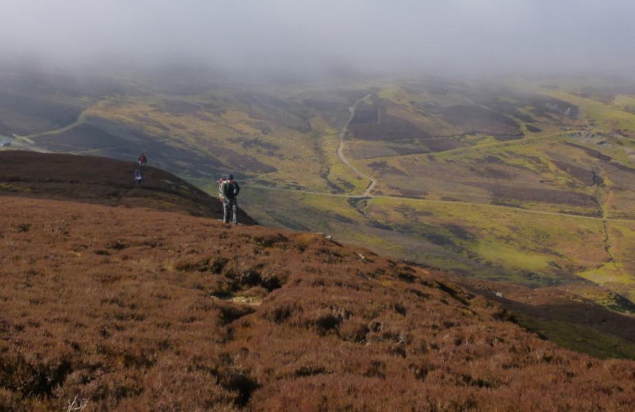
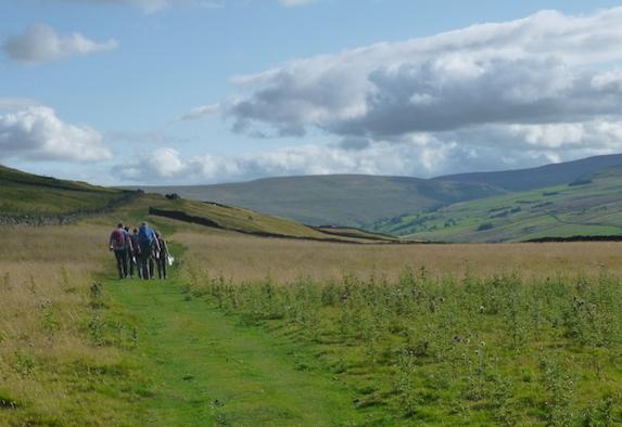
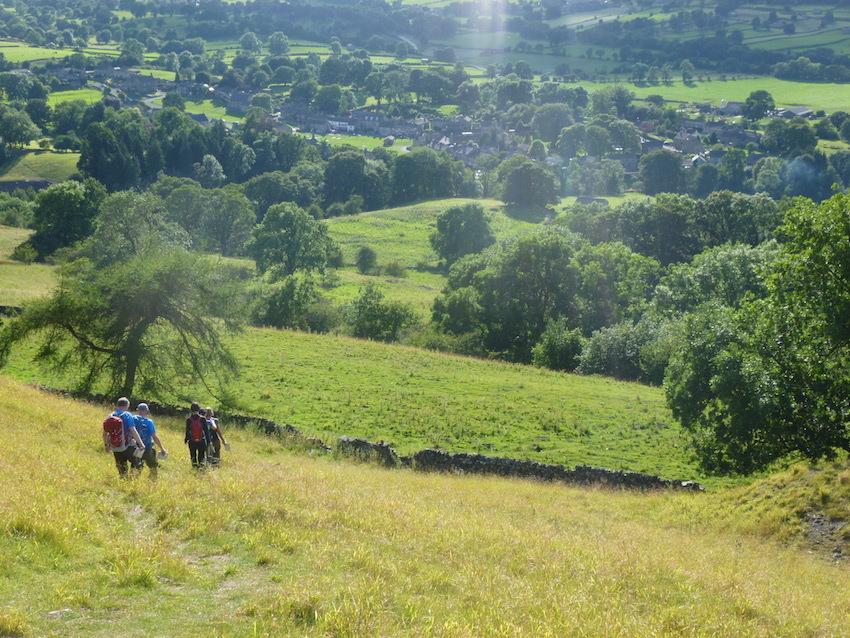
The Yorkshire Dales offer some of the finest walking country in England, with hundreds of miles of paths and vast swathes of open fells and moorland just waiting to be explored. These paths are your routes to freedom, to savour fantastic views, reach hidden waterfalls, explore crumbling lead mines, stride out across the moors and spend uninterrupted time with your friends and family out in the fresh air surrounded by beautiful landscapes.
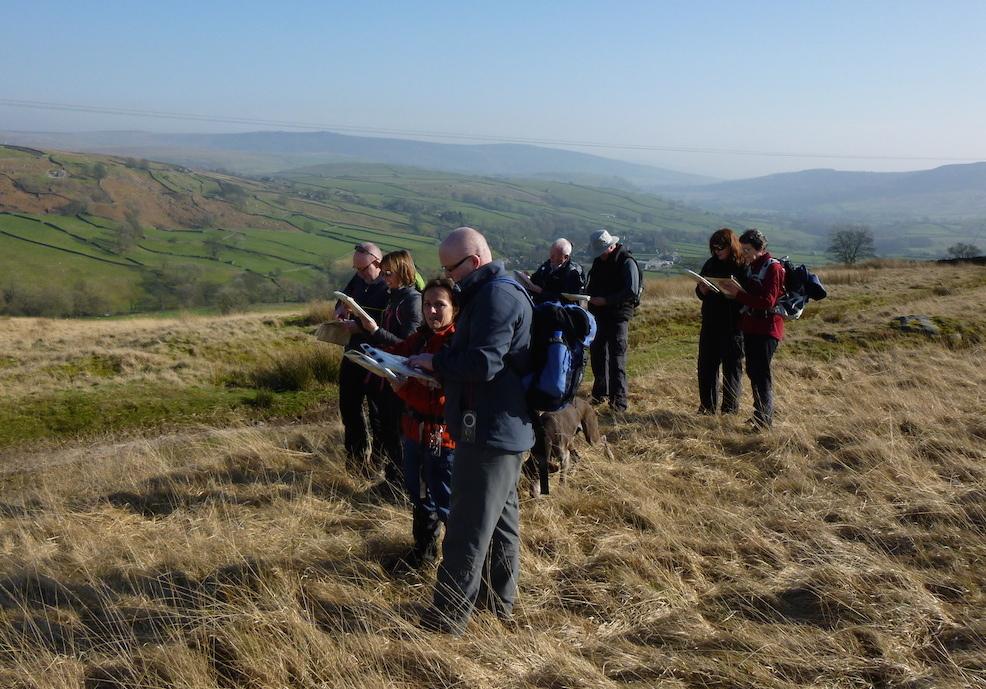
But people often say to me that they lack confidence to explore further, are worried about getting ‘lost’ and are unsure about where they can legally walk, and so they stick to paths they know and the more popular routes. Getting to grips with map reading, compass skills and navigation strategies will help you overcome these barriers and open up a whole new world - it is your passport to freedom.
I am often asked about GPS (Global Positioning System) units as a quick and easy answer to these navigation problems; most mobile phones now have integrated GPS and some basic mapping. You simply press a button and it tells you where you are. A GPS can be a useful navigation tool, but you still need map and outdoor skills.
I don’t have a GPS and I rely solely on traditional methods, as in my opinion a map and compass is better. A GPS spoon-feeds you information, which you then assume to be true. Learning map and compass skills allows you to design your own spoon and feed yourself! How often have you programmed your Sat Nav in your car and then, after driving for a while, realised that you actually do not know where you are and are being told where to turn.
The fundamentals of good navigation are always knowing where you are, where you want to go next and how to get there safely. It is about being engaged with the environment around you, and relating that to the map, and vice versa. But a note of caution. Map reading is only one part of effective navigation, as the map is just a scale plan of the landscape, but it is not the landscape. Just like when you go out to a restaurant for a meal, the menu is not your dinner!
In addition to map skills, you also need to be able to use a compass, understand weather forecasts, plan routes, wear the right clothing and carry the right kit, understand how the geology affects topography and vegetation, know which rocks are slippery and which are grippy, accurately measure distance and time your walks, recognise and avoid hazards, deal with poor visibility plus much more. It is an art form. I always incorporate these various elements into my map reading courses.
Ordnance Survey maps are works of art; amazingly detailed, intricate and accurate. So accurate in fact that a small gully on the side of a remote hillside in the Pennines will show up as small ‘u’ shapes on the contour lines on your map. The map tells you where you can walk, the shape of the landscape, accurate distances (which can be translated into timings), where villages (and pubs) are, how steep a slope is, whether the moorland is boggy or thick with heather. Unlike the small screen on your phone or GPS, you can unfold a map to reveal not only your chosen route in its entirety but all potential routes, not to mention the surrounding landscape.
In 2012, it was reported in The Telegraph that Ordnance Survey paper map sales had dropped by 25 per cent since 2005 as people switched to electronic navigation devices. Over the same period, Mountain Rescue incidents in England and Wales increased by 52 per cent.
I believe that our brains are hard-wired to function in the natural environment; after all, historically as a species we have spent almost our entire time on this planet in the natural environment, fully engaged with the various eco-systems and the passage of the seasons. Research shows we have an innate connection with the natural world - just think about how a beautiful sunset makes you feel. Recently, the Nobel Prize for physiology and medicine was awarded to scientists who discovered the brain's inner ‘mapping’ system. They discovered ‘place’ cells within the brain that form a mental map of where we are, and also ‘grid’ cells that help the brain judge distance and navigate. I believe that map reading and navigation skills are simply building on our prehistoric survival instincts, of how we found our way to food and back to shelter. This may explain why it feels so satisfying when you navigate successfully across the hills; and why it feels so daunting if you get misplaced!
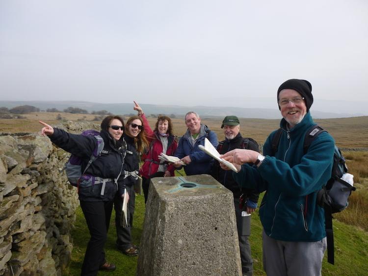
I have spent the last 18 years walking the paths and tracks of the North of England and have clocked up over 14,000 miles of footpaths since 1997, whilst researching and writing 17 books including The Inn Way series. I have also taken out over 4,500 people walking in the Yorkshire Dales, Lake District and beyond since 2007, and have gained various walking awards, including Mountain Leader. Each year, I teach hundreds of people how to read maps and navigate, and frequently see people have ‘eureka’ moments on the hillside when they realise the potential of maps.
I offer a range of courses from one day Map Reading to weekend navigation skills (NNAS), hills skills and mountain skills courses. Whatever your level of experience, skills and confidence, I’ve a course for you. Courses are held throughout the year at various locations in the Yorkshire Dales, South Pennines, North Yorkshire and the Lake District.
Mark will be leading day long map reading courses from February in Grassington, Malham and Kettlewell. To find out more visit his website teamwalking.co.uk


Comments: Our rules
We want our comments to be a lively and valuable part of our community - a place where readers can debate and engage with the most important local issues. The ability to comment on our stories is a privilege, not a right, however, and that privilege may be withdrawn if it is abused or misused.
Please report any comments that break our rules.
Read the rules here